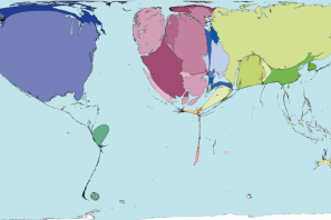
I regularly use World Mapper (worldmapper.org) in my Geography teaching to explore different ways of representing information and to challenge pupils’ thinking, so they were used to identifying places on this type of map. I was curious to know how my Year 7 (11 and 12 year old) students would respond to the Who exports conflict? Activity.
I began a lesson on presenting the maps without telling the pupils which products they were depicting.
Here’s what they said:
| Comments | Arms export map
|
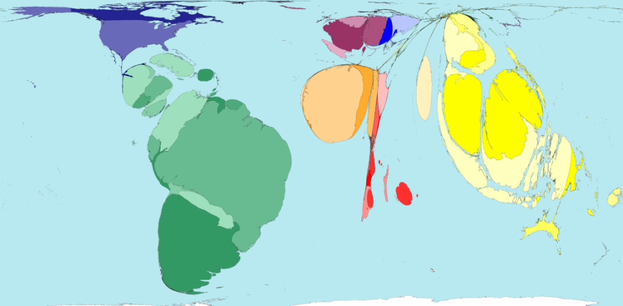
Groceries export map
|
| Where did Africa and South America go? They’ve disappeared!
Russia is big – or is it China? |
I don’t get what these places are(pointing to SE Asia)
Whatever it is we don’t send much (pointing to UK) Why’s that bit so fat?”(pointing to central America) |
|
| Guesses | We get rice from China
Know-how Food Medicine Computers Cheese (cheese is produced locally) School books Charity stuff (recently items had been sent from local schools to partner schools in African countries) |
South America sends us nuts from Brazil
Footballers Diseases – like ebola Wood from the rainforest
|
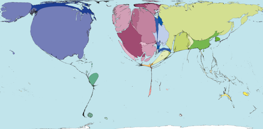
When I told the class what the two exports were, about half of them guessed correctly which map was which, but were shocked by the arms exports. One pupil was convinced I’d got the maps the wrong way round; another said: They must have got lots of arms in Africa because of the child soldiers. It was a big step for them to connect the arms used by child soldiers to exports from countries like ours.
Although they hadn’t all guessed the export on the second map was groceries, they were soon able to suggest a few examples, of exported products (bananas from the Caribbean, cocoa from West Africa) which may have been the result of our school’s recent Fairtrade week.
Doing the activity showed up gaps in the pupils’ knowledge and understanding of how the world works, but importantly, it challenged some preconceived ideas about where guns and food come from. This will, in turn, have an impact on their attitudes towards African countries and the assumptions they often make about it being a continent of famine, conflict and diseases. I plan to work with the Geography department to follow this up with the same pupils using the What would you see in an African Country? activity. This has already been used to identify pupils’ perceptions of Africa; repeating it sometime after using the World Mapper maps would be useful, to judge the impact the Exporting Conflict activity and discussions has had on how our pupils think.